Available first
The Wainwright Edition
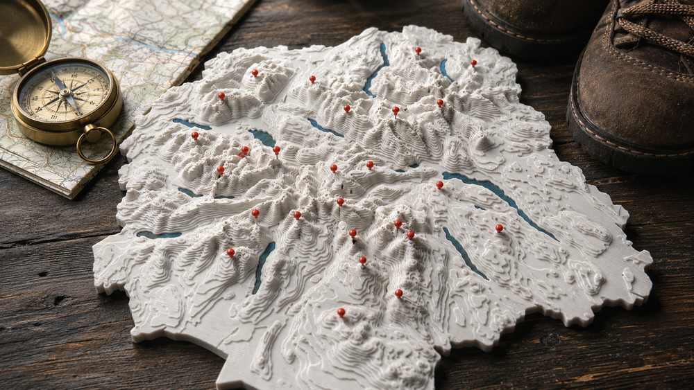
A tactile Lake District relief map that grows with every walk. Place a marker, remember the day, and watch your journey take shape.
The collection
One design system, ready to grow from fell-bagging into parks, routes and whole-country adventures.
Available first
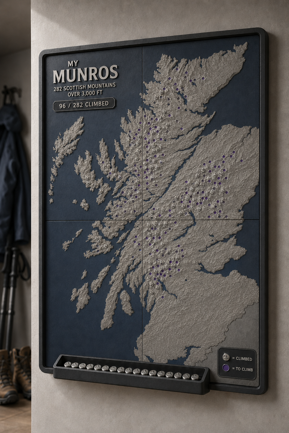
In development
Coming next
Route editions
A map that moves with you
One design system, ready to grow from fell-bagging into road trips, routes and whole-country adventures.
Use the included summit key to plan a first walk or find what remains in each area.
From gentle family days to big horseshoe rounds, every summit earns its place.
Press a pin into the summit socket and let the map become a record of your story.
Relief, rethought
Each piece combines rounded, stepped terrain with a laser-cut wood surround. The lakes sit cleanly inside the relief and the marker sockets are positioned as close as possible to the real summit peak.

“The best maps don’t just show where you’re going. They remember where you’ve been.”
WAYMARKED